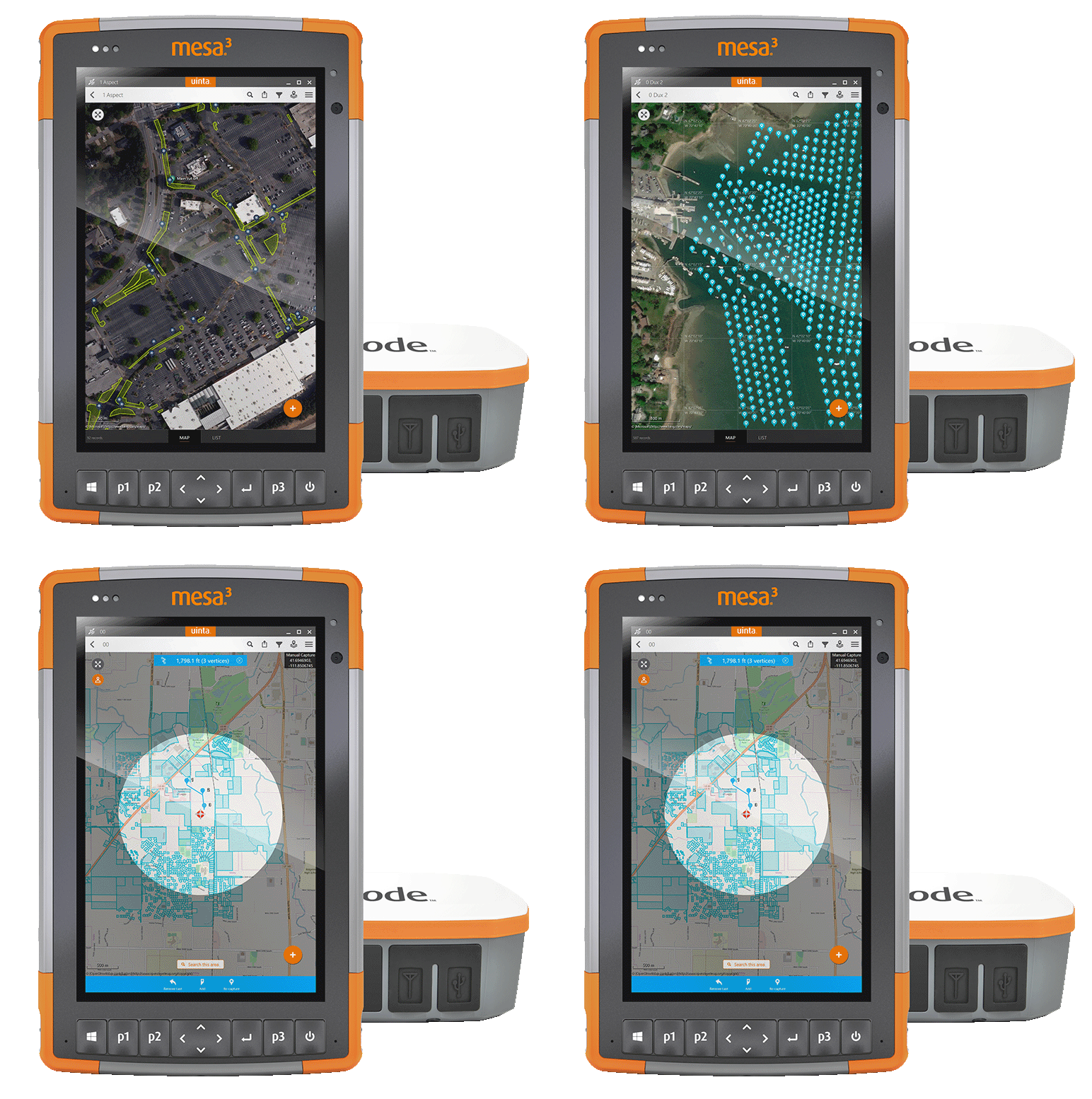
Unlock The Power Of Data Done Right!
Most intuitive and powerful mapping and data storage solution ever created for:
• Contractors
• Property Owners
• Property Managers
• Property Developers
Choose The Plan That Is Right For You
BRONZE
$1,200/Year
+ 1 user
+ Use of app and unlimited storage space
+ Unlimited projects and unlimited storage
+ Monthly zoom call to ask any questions
SILVER
$3,600/Year
+ 5 users
+ Use of app and unlimited storage space
+ Unlimited projects and unlimited storage
+ Monthly zoom call to ask any questions
GOLD
$18,000/Year
+ 5 users
+ Use of app and unlimited storage space
+ Unlimited projects and unlimited storage
+ Monthly zoom call to ask any questions
+ Initial onboarding full service plan
+ Upload any documents and records received from client
+ We research to find documents about the property
Construction docs
Drainage reports
Past permits
Additional repair plans
+ 1-day consultation per year
Onsite tutorial walk
Instructional meeting/discussion with your team
À la carte PRICING
Admin with 1 Field User
1-year
$1,200
Additional Field Users
1-year
$600
Devices:
Cedar Tablet
$1,100 Plus S/H
Geode GNS3S
Cedar Tablet Custom Bracket
$2,495 Plus S/H
$125 Plus S/H
Data Upload Services
$125 /hr
Data Storage
$250/year
Mapping Technician
$125 /hr
Research To Find Documents
$1,000 Flat fee for 10 hrs (per project)
PROPDOC STORAGE & MAPPING SOLUTION (NON-LICENSE)
Let Us Do It All For You!

Mapping
We create accurate GPS maps in real-time, marking points, lines, and areas FOR YOU to keep everyone on the same page.
We print out professional GIS reports in PDF formats FOR YOU to hand to customers.
We map project templates including standard utility color codes for each point, line, and area FOR YOU.

Data Capture
We create Relational Tables FOR YOU showing you how data connects so you can stay on time and within budget.
We create Custom Picklists FOR YOU putting total site control into your hands so you can make intelligent, efficient decisions in the field and the office.
WE turn complex data into custom forms FOR YOU, helping you go from decision fog to job-site clarity.

Data Sharing
Your team won’t skip a beat on any project with optional cloud projects syncing your field with the office.
Export Google Earth KML, Microsoft Excel, and Esri Shape files quickly and easily, saving you time and money in the office.
Make your imported Google Earth, KML, or Esri Shape files editable layers that your team can customize on-site and share across the cloud.
Straight From Our Happy Customers

"Testimonial from customer. Choose one that answers a common question you get from customers, or that addresses a pain point that customers experience elsewhere. This isn’t a bragging box, but it is an opportunity to show potential clients the value you bring to existing clients.
Vivamus tincidunt blandit dolor, vitae rutrum justo viverra ac. Vestibulum lobortis condimentum fermentum. Sed eleifend purus eu lorem viverra, consectetur vehicula purus aliquam. Aliquam nec sollicitudin mi..”
— JACKSON N.
Marketing Director, HBO Max
Stop wasting time and money with poor data collection
and sharing systems that don’t work.
SPECIAL OFFER!
WANT TO DEMO PROPDOC?
We’re making it possible to try a PropDoc demo for FREE
© 2023 PROPDOC


